Delivering high-precision aerial intelligence through advanced drone technology for topographical surveys, work-in-progress monitoring, and thermal inspections.

Comprehensive Renewable Energy Solutions

From Topographical survey, construction monitoring to thermal inspections, we provide end-to-end drone-based solutions for solar assets

Topography Survey & Mapping

Precision mapping and surveying for site selection, planning, and designing.

  • High-resolution orthomosaics
  • Digital elevation models (DEM)
  • Topographical Mapping
  • Contour
  • Water flow analysis
  • Ground Level (Grid) etc.,

Construction Monitoring

Track your solar park construction progress with regular aerial surveys and detailed progress reports.

  • Progress Monitoring
  • Site visualization
  • Data Analytics
  • Timeline compliance tracking
  • Subcontractor work verification
  • Drone videography etc.,

Thermal Inspection

Advanced thermal inspections using advanced imaging to detect hotspots, module faults, and efficiency losses before they impact operations.

  • High-resolution thermal Orthomosaic
  • High-resolution RGB Orthomosaic
  • Anamolies detection
  • Detailed defect classification
  • IEC 62446 compliant reports
  • Accessible via cloud platform etc.,

TL Inspection

Regular inspections to maintain optimal performance and extend the lifecycle of your solar assets.

  • Visual and thermal inspections
  • LiDAR Data
  • Consistent Accuracy
  • Improved Safety
  • AI powered report generation etc.,

Wind Turbine Inspection

Drone inspections for comprehensive wind turbine blade health monitoring and defect detection.

  • High-resolution visual and thermal imaging
  • Blade inspections
  • Severity scoring and damage assessment
  • Reduced need for rope-access inspections
  • Automated reports

EL & IV Curve Testing

Comprehensive module diagnostics including Electroluminescence (EL) imaging and IV curve tracing combined with serial tracking.

  • High-res EL image capture
  • Precise IV curve tracing
  • Micro-crack & defect detection

Advanced Technology Stack

Combining cutting-edge hardware and AI-powered analytics for unmatched accuracy

🚁

Drone Fleet

Enterprise-grade drones equipped with high-resolution RGB and thermal sensors

🤖

Processing & Analysis

Detailed analysis of RGB and thermal imagery to identify defects and anomalies

☁️

Cloud Platform

Secure cloud-based platform for data storage, analysis, and collaboration

📈

Analytics Dashboard

Real-time insights and customizable reports for informed decision-making

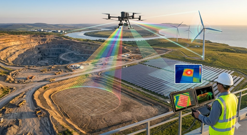
Why Choose Drone/LIDAR-Based Solar Inspections?

01

Faster Inspections

Complete large-scale solar park inspections in days, not weeks, with minimal disruption to operations.

02

Enhanced Safety

Eliminate the need for workers to access hazardous areas, reducing workplace accidents and liability.

03

Cost Effective

Reduce inspection costs by up to 40% compared to traditional manual methods while improving accuracy.

04

Actionable Insights

AI-powered analysis delivers prioritized maintenance recommendations to maximize energy output.

Renewable Energy Inspection

Our Process

A streamlined workflow designed for efficiency and accuracy

1

Site Assessment

We evaluate your site requirements and develop a customized inspection plan tailored to your needs.

2

Data Capture

Our certified pilots conduct aerial surveys using advanced thermal and RGB cameras for comprehensive data collection.

3

Processing Analysis

Captured data is processed through our platform to detect anomalies and classify defects.

4

Reporting

Receive detailed reports with actionable insights, thermal maps, and prioritized maintenance recommendations.

5

Ongoing Support

Access our cloud platform for continuous monitoring and schedule follow-up inspections as needed.

Ready to Optimize Your Solar Assets?

Let our drone technology help you maximize performance and reduce operational costs