Advanced drone/LIDAR solutions for plantation monitoring, enabling tree health assessment, and efficient resource management.

Plantation Monitoring Solutions

From plantation monitoring to irrigation management, we provide data-driven insights for modern farming

Crop Damage Assessment

Drone-based aerial surveys to accurately identify and quantify crop damage across large plantation areas.

  • High-resolution aerial imagery
  • Damage extent mapping
  • Area measurements
  • Plantation block-level analysis
  • Geo-referenced damage reports
  • Cloud-based data access

Irrigation Planning & Analysis

Drone-generated terrain data to support efficient irrigation planning through elevation, contour, and water flow analysis.

  • High resolution aerial imagery
  • High-accuracy DEM generation
  • Contour mapping for irrigation planning
  • Topography-based water flow analysis
  • Terrain profile and slope calculation
  • Drainage and runoff assessment

Plantation Mapping

Monitor tree health, plantation progress, and forest cover for sustainable agroforestry management.

  • High resolution orthomosaic
  • Tree counting and mapping
  • Canopy cover & height measurement
  • Plantation MRV ( Monitoring, Reporting & verification )
  • Tree mortality mapping
  • Species classification
  • Gap identification

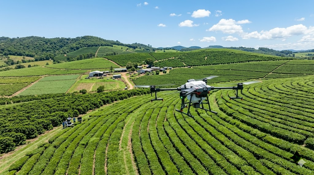
Why Drone Technology for Plantation?

01

Improved Plantation Productivity

Early detection of tree stress and plantation issues enables timely interventions, improving overall plantation productivity.

02

Resource Optimization

Precise data enables targeted application of water, fertilizers, and pesticides, reducing waste and costs.

03

Time Savings

Survey hundreds of acres in hours instead of days, enabling faster decision-making and response.

04

Sustainable Farming

Reduce environmental impact through precision application and optimized resource management practices.

Agriculture Drone Survey

Our Agricultural Survey Process

A systematic approach to delivering actionable farm intelligence

1

Site Assessment

We analyze your farm requirements and determine the optimal survey schedule and sensor configuration.

2

Data Collection

Autonomous flights capture multispectral and thermal imagery of your fields at optimal times.

3

Data Analysis

Our platform processes imagery to generate vegetation indices, stress maps, and health reports.

4

Actionable Insights

Receive detailed reports with recommendations for irrigation, fertilization, and pest management.

5

Continuous Monitoring

Regular surveys throughout the growing season to track crop development and address issues promptly.

Ready to Transform Your Farm?

Let our precision agriculture solutions help you increase yields and reduce costs