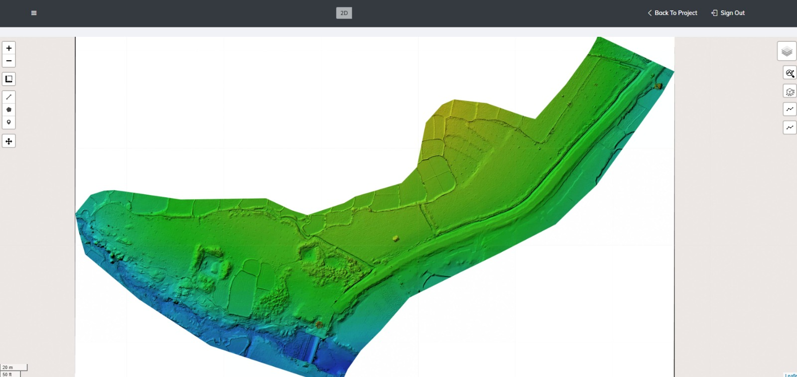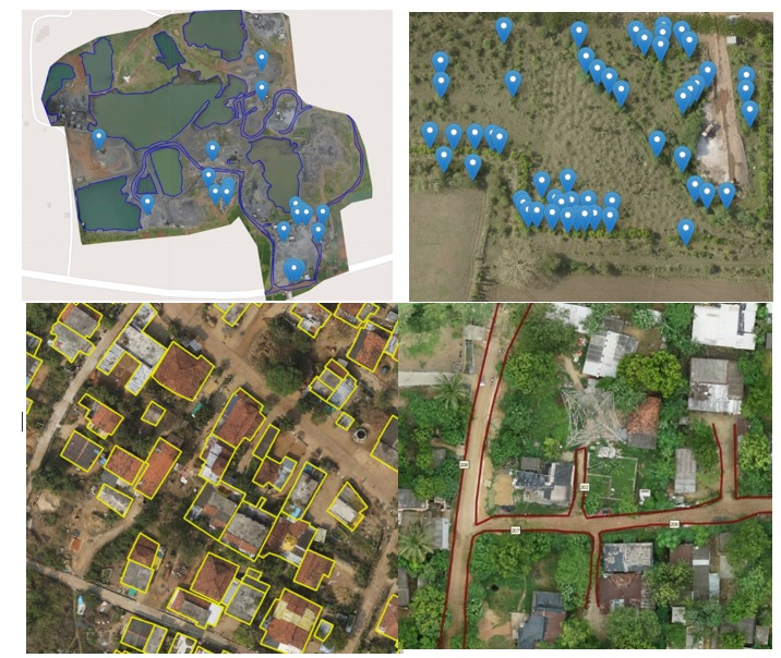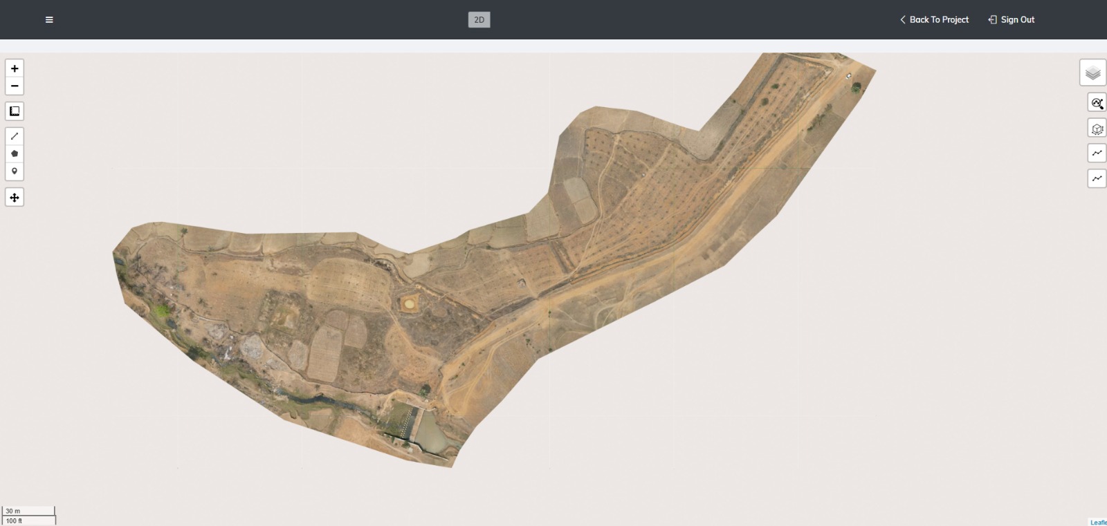
2D Reality Capture
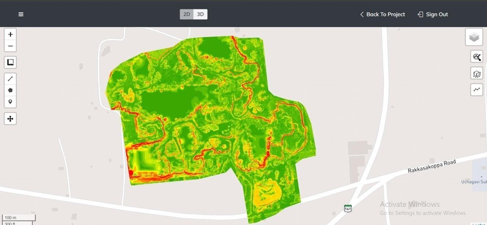
High Resolution Orthomosaic
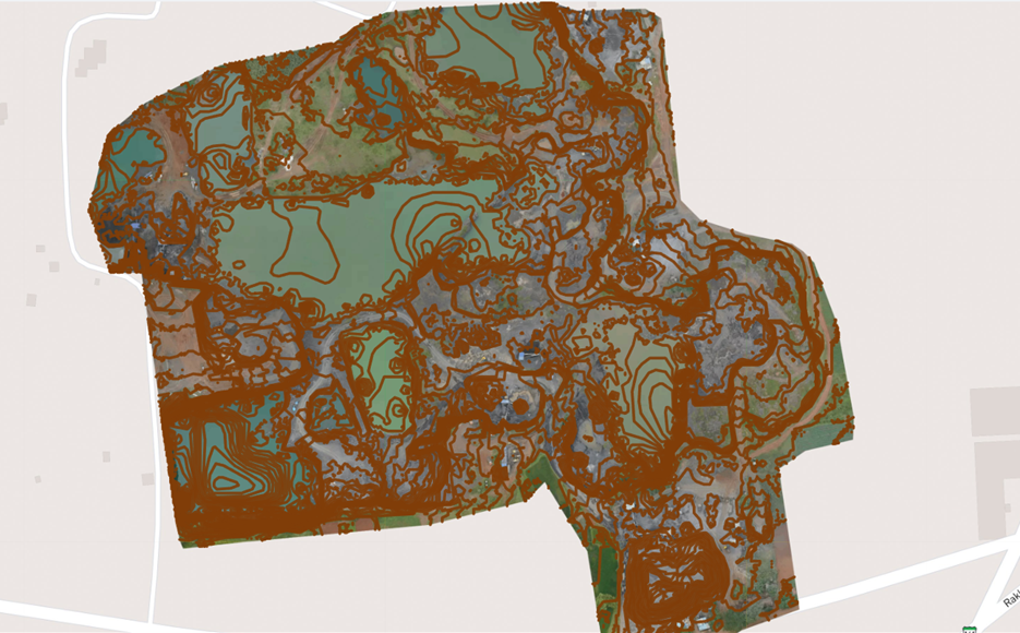
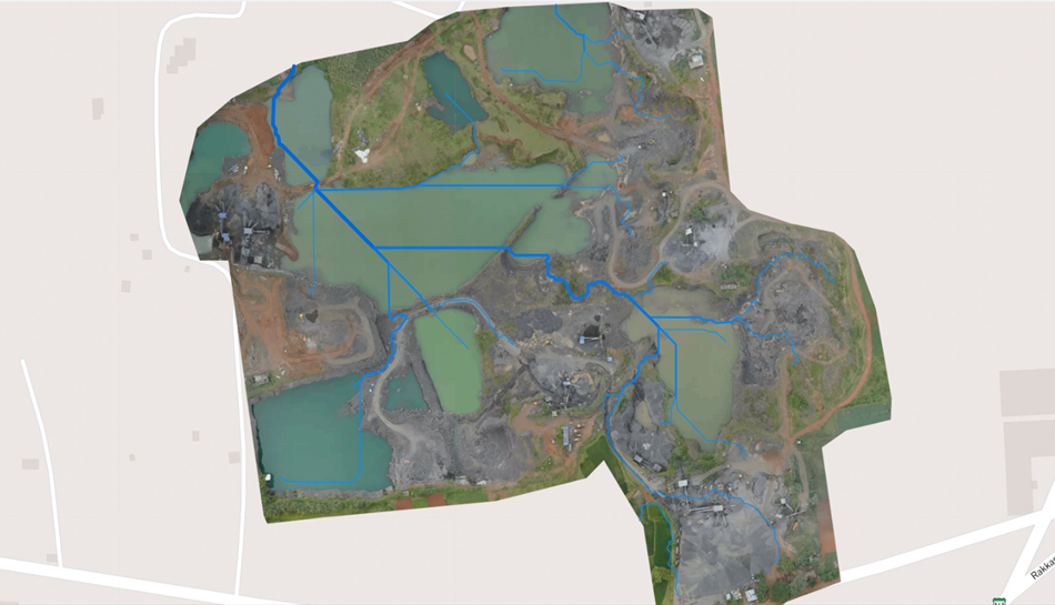
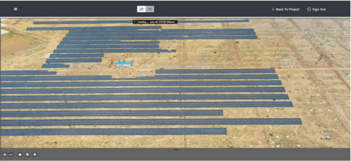
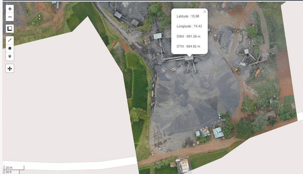
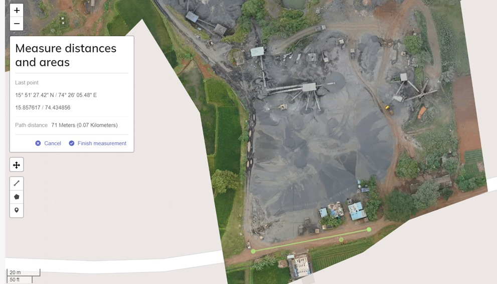
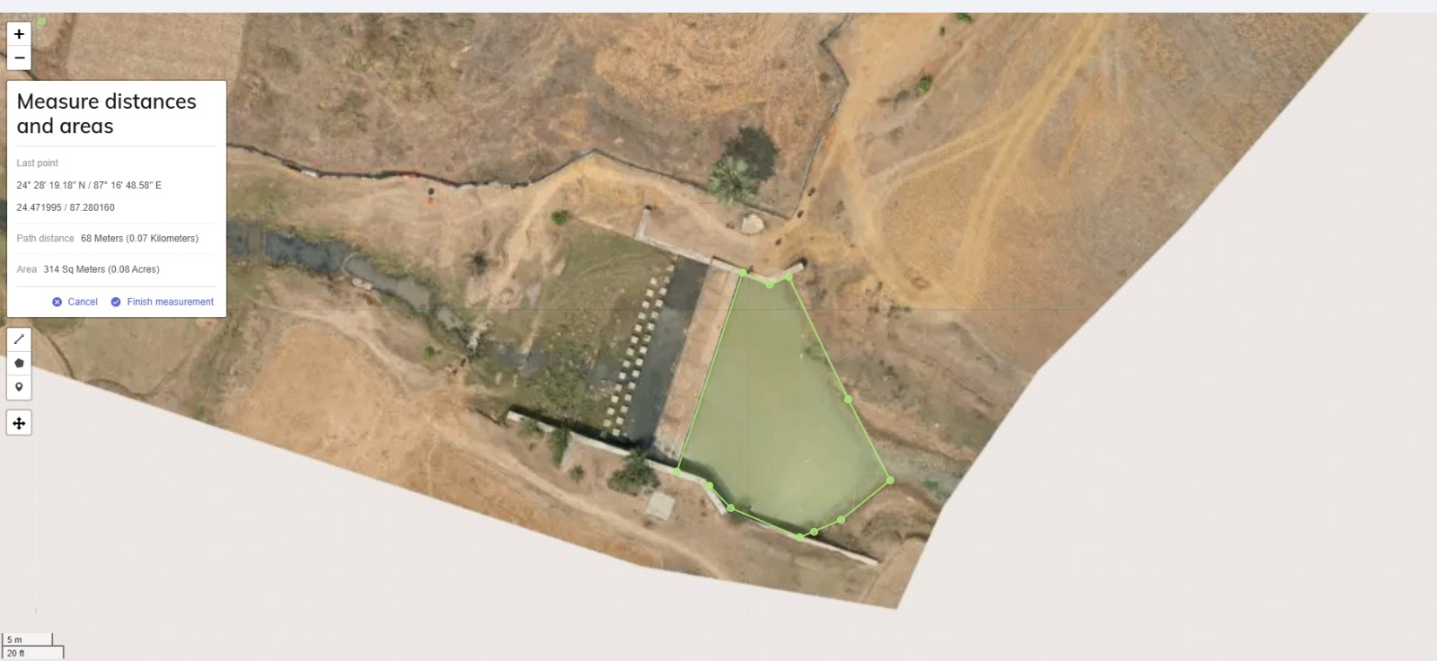
The foundation of digital surveying. We generate a single, high-resolution 2D top view of your site that is fully georeferenced and mathematically scaled.
- Orthoimage (GeoTIFF) Pixel-perfect aerial maps compatible with ArcGIS, AutoCAD, and QGIS.
- Distortion-Free True orthorectification removes camera perspective and terrain distortion.
- High Resolution Zoom in to inspect ground assets and boundaries with centimeter-level clarity.