Our Solutions
Comprehensive drone solutions tailored to your industry needs with cutting-edge technology and expert analysis
Aerial Drone Survey
High-precision topographic mapping and land surveying using advanced drone technology.
Learn More →
Renewable Energy
Thermal imaging and efficiency analysis for solar panel installations and maintenance.
Learn More →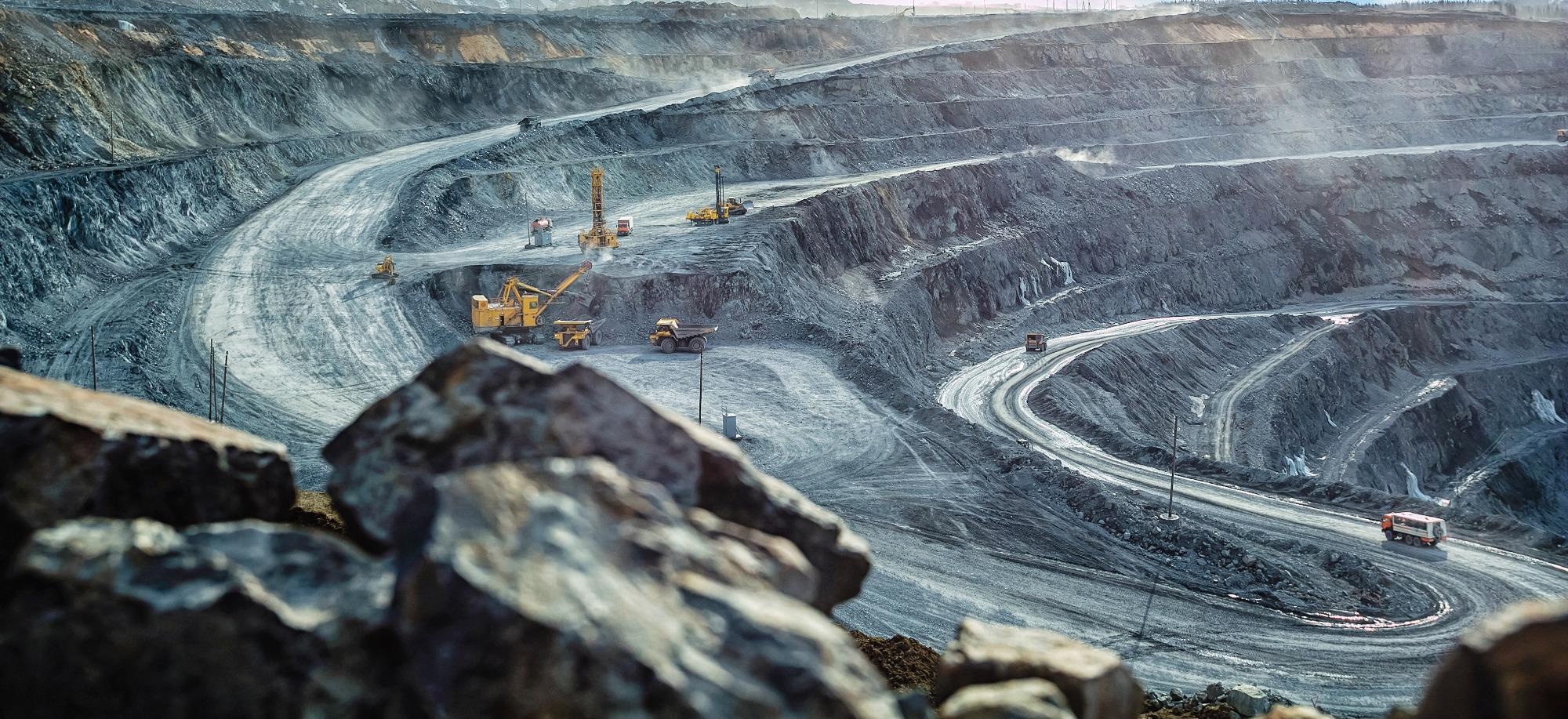
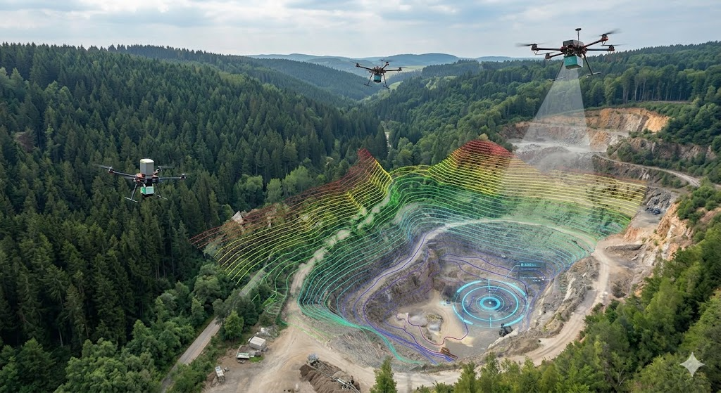
Mining
Comprehensive geological surveying and excavation monitoring for mining operations.
Learn More →
Infrastructure
Structural assessment and maintenance planning for bridges, buildings, and facilities.
Learn More →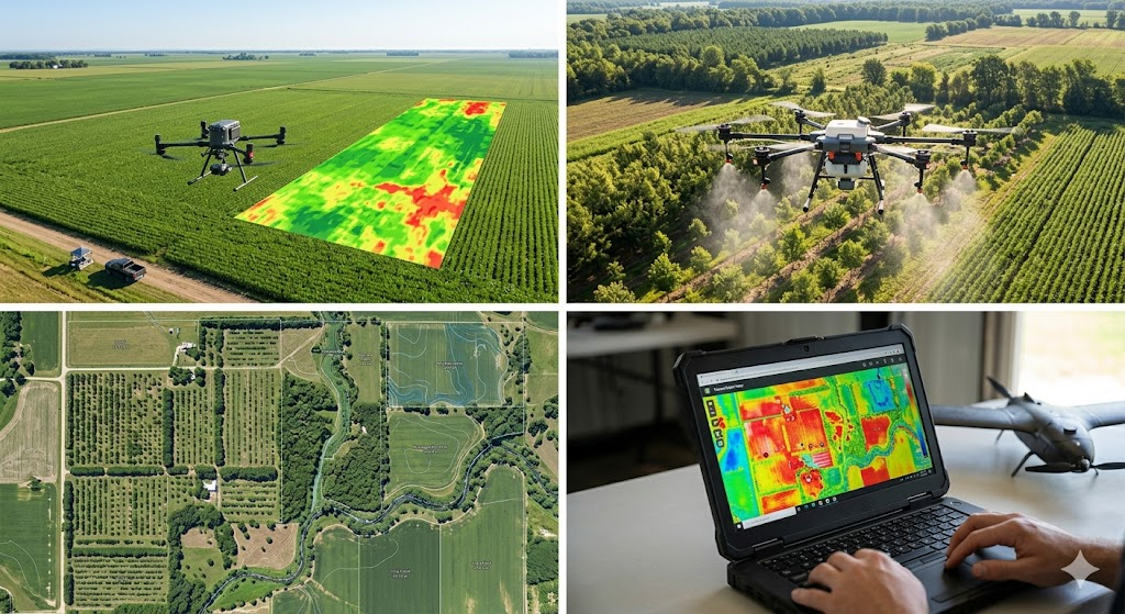
Agriculture & Agroforestry
Crop health analysis and precision farming solutions for agricultural optimization.
Learn More →
Cloud Platform
Ecosystem analysis and environmental impact assessment with aerial intelligence.
Learn More →